India and Nepal Use Drones to Mapping Disputed Border Land, Address Encroachment Issues
In an effort to resolve longstanding border disputes, India and Nepal have agreed to use drones for aerial mapping of cross-border occupation areas, including encroachments in the no-man's land…
By News Rush Point Desk
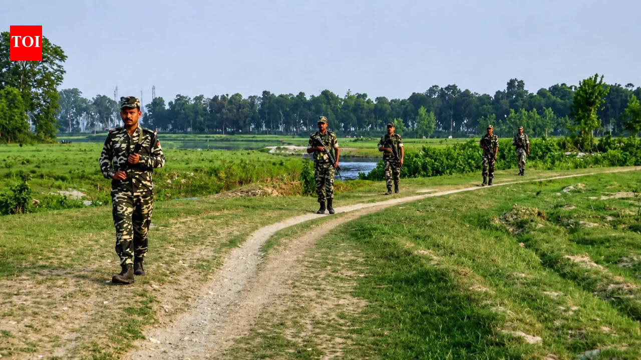
In an effort to resolve longstanding border disputes, India and Nepal have agreed to use drones for aerial mapping of cross-border occupation areas, including encroachments in the no-man's land known as Dasgaja. The joint survey, which will begin post-monsoon, aims to establish how much land is being used by citizens on the other side of the officially recognized boundary. This move comes following allegations from Nepal's Prime Minister that India had encroached upon Nepali land and vice versa. Dasgaja, a 10-15 yard no-man's land along the India-Nepal border, is intended to remain free of occupation for easier identification and maintenance of the boundary, but in practice has become intertwined with daily life and livelihoods along the border. The survey also aims to address issues related to river course changes, where the legal boundary remains fixed while rivers naturally shift. This can result in land disputes, as a farmer may continue cultivating land that was once on their side but is now on the other side of the international boundary due to river shifts. The drone survey is not intended to redraw or rediscover the India-Nepal border, but to provide a clearer understanding of its current state and address encroachment issues.
Filed underIndia
More stories
India
St. Louis Drummer Bobby Taylor Passes Away After Long Cancer Battle
India
Daily Astrology Love Horoscope: Zodiac Insights on Romance for November 10, 2026
India
Retired Electrician Wins Inheritance Battle After Murder Accusation Overturned
India
Sustainable Diwali Decor: Revamp Your Home with Zero-Waste Ideas
India
Jeff Bezos Upgrades Miami Mansion as $234M Billionaire Bunker Dream Home Takes Shape
India